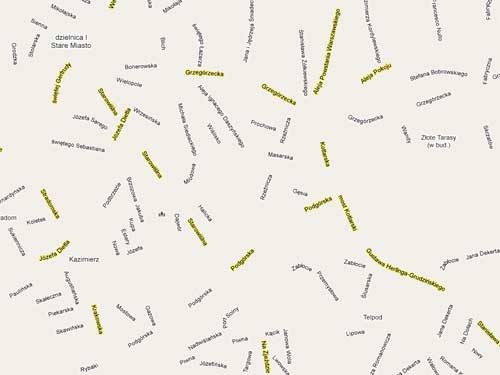
This project is an interesting variation on the idea of making an image out of words only, here is a map that uses only the map labels for presentation. I like the way you can see oceans and seas via large voids on the macro level and long streets and boulevards on the micro one. Also reveals surprises in the way the labeling technology (google maps based) is implemented when changing zoom levels.
